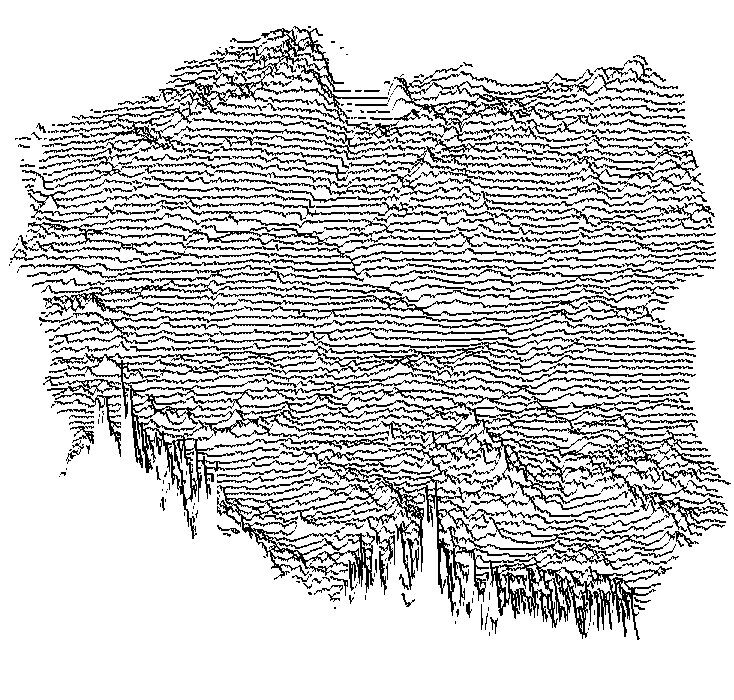
mtizim. Reference preview supplied by GitHub; see the linked source for the original work and credits.
Digital / Date unrecorded
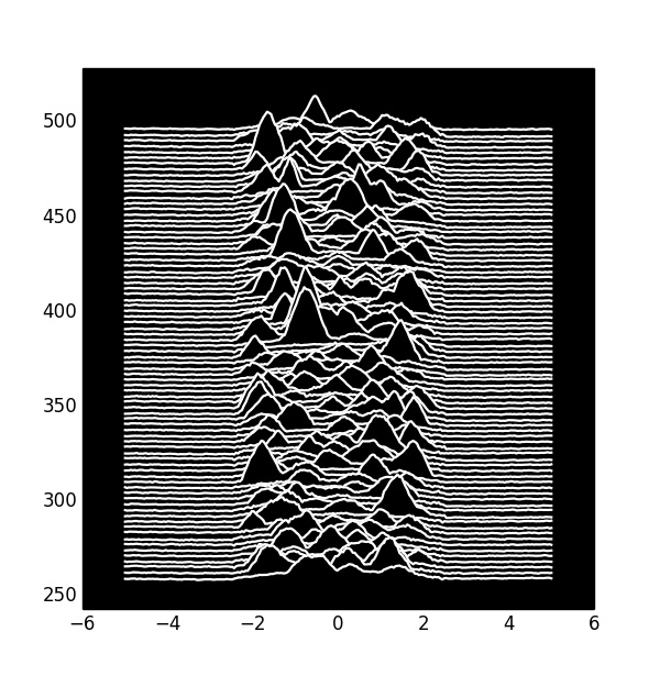
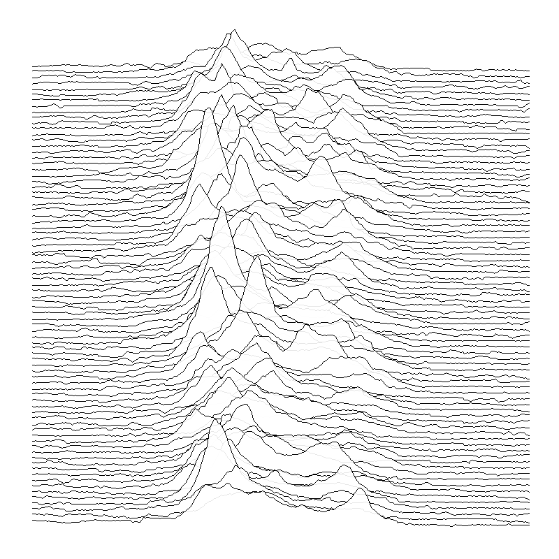
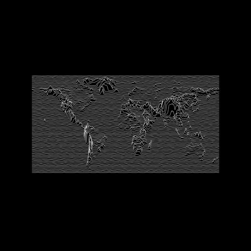
Unknown Pleasures geodata visualizer
A Python project renders ESRI ASCII terrain data in the sleeve’s style, demonstrated with Polish elevation data.
- Made by
- mtizim
- Year
- Date unrecorded
- Catalogued
The repository includes Python code and a README explaining its connection to the sleeve.